We have a visiting missionary whom our church support: Hilary Lewis-Nicol. He seems to be from Africa, was music director and now the Africa Area Director of Youth for Christ. Supervised seven countries– Sierra Leone, The Gambia, Liberia, Ghana, Nigeria, Guinea Bissau and Guinea. So I start with this:
Locals called it: Salone (pronounced: Salon). Means Serra Leoa (Portuguese for Lioness mountain)
one of 3 countries (Liberia, Haiti) on Earth founded by former slaves.
Nicknamed "Athens" of West Africa
Capital: Freetown in the Western area.
Largest Natural Harbour in Africa: Port of Freetown
Country has 12 districts, 149 chiefdoms.
7.7 million people. Major Ethnic groups: Mende (32%), Temne (32%). Small Bengali & Lebanese communities.
Mende's descendants in South Carolina called "Gullah community". Secret society Poro (men) & Sande (women) have secret passwords and rituals for rites of passage.
Temne: Cash crop revolutionaries (grow palm oil & Cassava). Nembgana of Koya (famous king), Bai Bureh (famous chief) in Colonial time. Secret society Ramena (men), Bondo (women).
Limba: Earliest indigenous people in the country, completely unrelated language. Kakoya Village (spiritual home).
Kono: Diamond people. Predominantly Christians. Related to Mandinka/Vai who descended from Mali Empire.
Kuranko: Mainly Muslims.
Creoles: Many got sent to UK, hence lots of English influence resulting in KRIO, and speak English fluently.
Currency: $1 USD to 19678.65 Sierra Leonean Leone
Drive on Right side of the road.
Language: English & KRIO (Creole of English: i.e. Kushe! Aw Di bodi = How are you?)
Founded by descendants of repatriated former slaves brought back by the British between 18th & 19th centuries. Through struggles with the native tribes.
Religion: 3/4 Sunni Muslims, the rest are Christians. Interfaith between the two is common. Civil war was more about politics, not religion.
Beware of corrupt police scams (i.e. Fake vaccine requirements at borders)
Geographical land layout from coast (West) to inner country (East): Coastal Mangrove Belt, Forested Hill Country, Upland Plateau, Loma Mountains.
Highest point: Bintumani
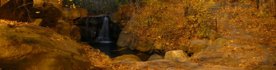
Largest lake: Lake Sonfon (Lake Tourism)
Highest region in Africa to receive rain (80-120" annually): Guineo-Congolian Climatic Zone, especially in Monsoon season between June & October.
Epic center of 2014 Ebola crisis, Ebola free in 2016
2/3 in agriculture. But country's rich in mineral deposits: Titanium ores, bauxite, diamonds.
Movie about diamonds in their civil war: Blood Diamond (2006)
#1 with highest industrial production growth rate in 2013 with 88%. But today only 20% has access to regular electricity.
3 largest national parks of the country: Outamba, Kangari Hills, Gola Forest Reserve. No lions found today, except in their coat of arms.
Interesting animals: Chimpanzees (national animal), Iris glossy starling, African Manatee, Pygmy Hippo, Giant African Swallowtail (large butterfly - 25cm wingspan)
Food: Jollof rice (won Afropolitan insights blind taste test 2019) & FUFU, Cassava Leaf Stew (national dish), Ginger beer, Tombe (Tamarind drink), Poyo (Palm wine)
Music: Two famous local genres: Palm Wine (i.e. Ebenezer Calendar, 1950s, rearranged Caribbean styles like Calypso, mixed with KRU people's traditional music, using Portuguese guitars) & Gumbe (Creole genre using Jamaican drum called Gumba which was used for communication but now for Weddings to Baptisms). Bubu is another genre (transformed from Animism to Muslim) popularized by Janka Nabay.
Celebrities: Idris Elba, Isaiah Washington
Foreign relations: Close friends with Liberia, Gambia, Lebanon, China, Bangladesh, UK, Ghana, Nigeria, Guinea.