So I need to keep a list after living in NJ for a couple of years now.
Tools that help:
1. Light pollution map
2. Map with some topographical aid
3. Google Map can also do elevation labels under menu
4. Some good hiking resources in NJ
Procedures:
Find these places on google map. Check for online trail map, if found, record it below. If not found, do all other kinds of trail search about it, find out what other interests it may offer.
Locations:
Cheesequake State Park - closest state park to home. About 4 major hiking trails. Apparently there's a crabbing bridge where people crabs during tides but I haven't tried that. I've also always wondered how it's like to boat in the creeks.
holmdel Park - Very nice public scenic area where we saw lots of Jews last time. There's a small farm for tourist and a hiking trail.
Hedden Park - A bit far from us (50 mins). But we went once and loved it. It's a small but very scenic lake park and a simple hiking trail.
John F. Kennedy Park - closest lake to walk around. Probably good for jogging as well.
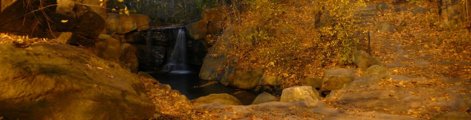
Washington Valley Park - Closest Watchung Mountain. Hiking, some sort of waterfalls.
Delaware & Raritan Canal Trail - The river/canal scenic view is superb! Probably great for biking and boating!